
- Deliver high-quality education to produce applied bachelor's graduates in surveying and mapping, regional surveying, and geographic information who are skilled, competent, and professional.
- Conduct applied research in surveying and mapping, regional surveying, and geographic information collaboratively at national and international levels.
- Carry out community service in the fields of surveying and mapping, regional surveying, and geographic information.
HISTORY
The Surveying and Geographic Information Study Program, abbreviated as SPIG, is one of the diploma programs at Universitas Pendidikan Indonesia, established in 2008. Initially, SPIG was a Diploma-3 program, but in 2022 it transformed into a Diploma-4 program. The Diploma-4 level, equivalent to a bachelor's degree, emphasizes both soft and hard skills, especially in preparing professionals in the fields of mapping techniques and geographic information. The SPIG Diploma-4 program combines two scientific disciplines—geodesy and geography—and awards an applied bachelor's degree with competencies in surveying and mapping, remote sensing, and geographic information systems.
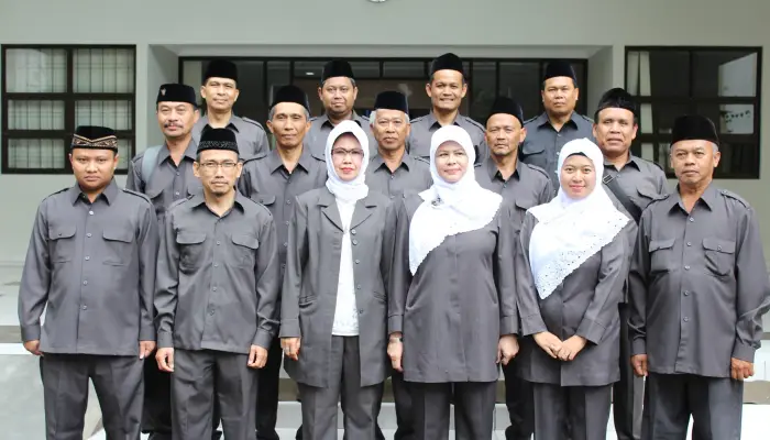
our head of study program
Assalamu'alaikum wr wb.
The Study Program of Surveying, Mapping, and Geographic Information extends our heartfelt congratulations on your acceptance as a new student of SPIG. Your decision to choose the SPIG program is, God willing, the right one. There is currently a high demand for skilled professionals in surveying and mapping at the applied bachelor's (D4) level. Moreover, there is also a growing need for workers with technical expertise in acquiring, processing, and presenting geographic information using remote sensing and Geographic Information Systems (GIS) technologies.
The SPIG Study Program is committed to preparing you to become a skilled professional in the fields of surveying, mapping, and geographic information. Our qualified teaching staff and available equipment are considered adequate to support this goal. You are expected to pursue your education earnestly and study diligently so that you achieve satisfying results and graduate on time.
Wassalamu'alaikum wr wb.

Our CERTIFICATION
Our study program has been accredited by LAMSAMA
